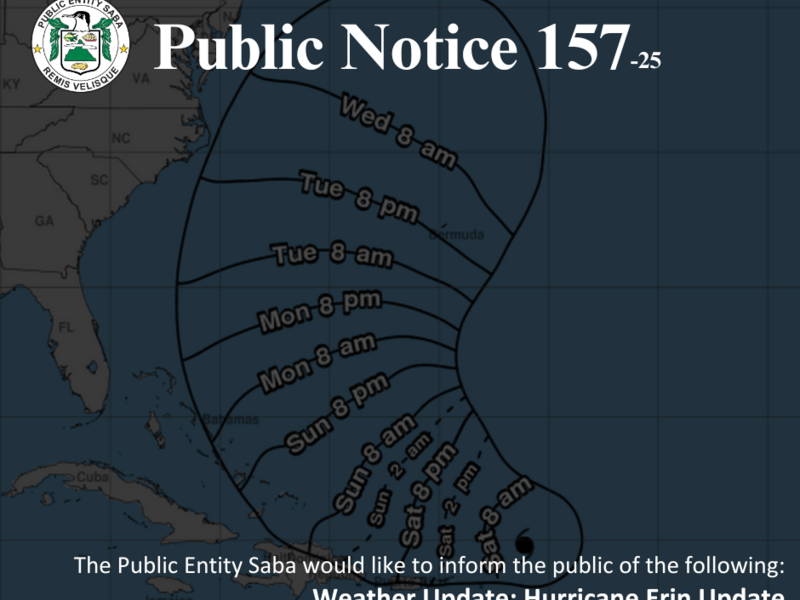
Hurricane Erin remains on a projected path to pass well north-northeast of Saba. According to the latest meteorological update, the risk of tropical storm–force winds impacting the island is now considered negligible. The closest point of approach is expected around 11:00 a.m. on Saturday, August 16, at an estimated distance of approximately 180 miles (290 kilometers) north-northeast of the island.
While Erin is not forecast to directly impact Saba, residents are advised to remain vigilant, as there may still be potential for heavy rainfall and rough sea conditions throughout the weekend. Sustained winds reaching Force 6 are likely, with gusts anticipated between 30 and 43 miles per hour (50 to 70 kilometers per hour). Sea conditions will be moderate to rough, with northeasterly swells expected to affect coastal areas.
Rainfall forecasts have been revised downward. Current projections indicate that rainfall totals will range between 1 to 2 inches (25 to 50 millimeters). However, there remains a 10 to 20% chance of higher totals reaching up to 2 to 4 inches (50 to 100 millimeters). Despite the lower rainfall forecast, the risk of isolated flash flooding persists, along with the possibility of urban flooding and landslides or mudslides in vulnerable areas. As a result, access to Saba’s roads could be limited over the weekend.
Travel to and from Saba will not be possible on Saturday, August 16. All scheduled Winair flights for that day have been cancelled, and charter flights are also expected to be suspended. In addition, the Makana Ferry Service has cancelled all routes for both Saturday and Sunday.
Weather conditions are expected to deteriorate on Saturday, with gradual improvement anticipated throughout Sunday. Residents are urged to ensure that their homes and immediate surroundings are secured, and to take a moment to check on neighbors, particularly the elderly or those who may have limited access to timely updates.
Authorities continue to closely monitor the progress of Hurricane Erin and will provide further updates as the situation develops. The public is strongly encouraged to stay informed through official communication channels and to adhere to all recommended safety precautions. For more information and official guidance on hurricane preparedness, please visit: www.sabagov.nl/.../disaste.../hurricane-preparedness.