The survey itself included topics on housing, environment, community facilities and economic development. Key concerns that arose from the community were the affordability and accessibility of housing, parking shortages, and the difficulties related to connectivity which hinders economic development. Respondents also indicated an interest in seeing more creative industries on island, and the development of sustainable tourism. There was also a desire for more walkable communities, the preservation of historic buildings, and management of erosion and biodiversity loss.
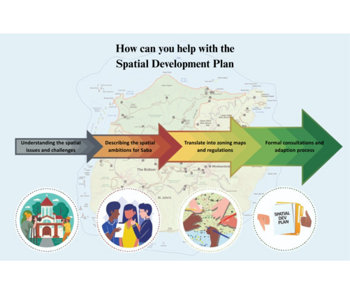
With the results of the survey compiled, the Department of Infrastructure and Spatial Planning will now take further steps to engage with the community. On June 27th and July 3rd, two community meetings will be held to provide residents an opportunity to learn more about key topics in the plan and provide feedback on areas such as monuments and heritage preservation, nature conservation, food security, and major upcoming projects, including the new school campus, harbor, and daycare facilities.
Join us on either June 27th or July 3rd from 4pm-6pm for our walk-in planning session where you can talk about what improvements are needed in your area, how we can protect our environment and heritage, and what do projects like the new harbor and school campus really mean for Saba. Discussions with the community along with the Spatial Development Plan, will assist in creating a future-proof Saba for everyone.
